- Hochschule Trier
- Campus wählen
- Quicklinks
-
- English
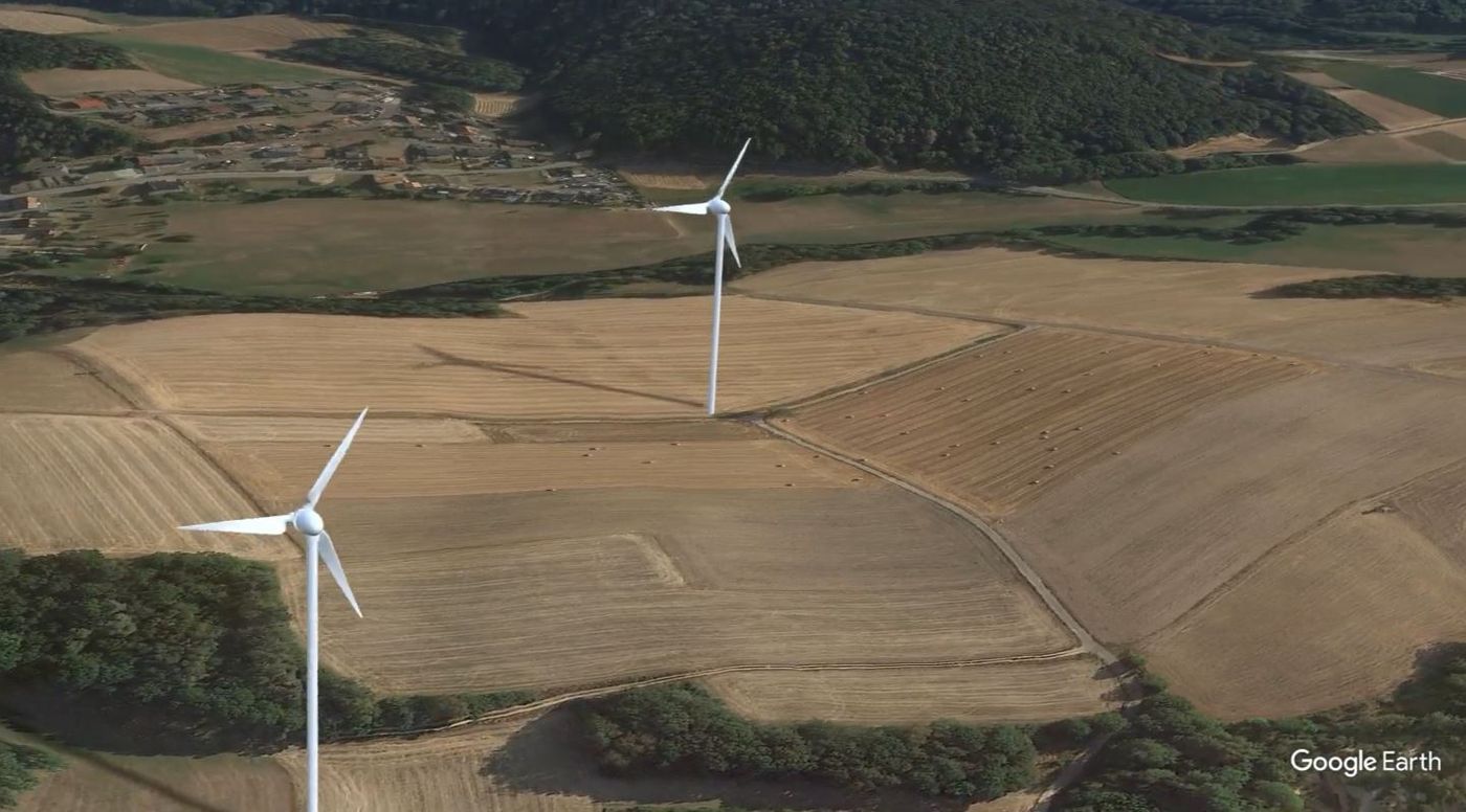
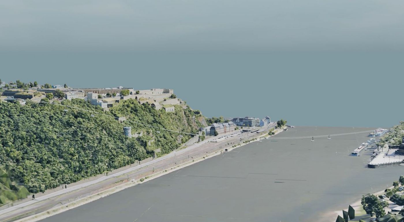
With the tools Google Earth Studio and Blender, powerful tools are now available on the market that enable high-quality landscape visualizations in combination with computer-generated images and effects.
In particular, the modelling and visualization of planning-relevant interventions in the landscape, e.g. the creation of wind and solar parks, bridge construction, etc. are increasingly in demand as part of the planning process and in public participation prior to the implementation of measures. Here you can find examples of student work from the winter semester 2024/2025

Bitte beachten Sie: Sobald Sie sich das Video ansehen, werden Informationen darüber an VCRP/Panopto übermittelt. Weitere Informationen dazu finden Sie hier.
Bitte beachten Sie: Sobald Sie sich das Video ansehen, werden Informationen darüber an VCRP/Panopto übermittelt. Weitere Informationen dazu finden Sie hier.
Bitte beachten Sie: Sobald Sie sich das Video ansehen, werden Informationen darüber an VCRP/Panopto übermittelt. Weitere Informationen dazu finden Sie hier.
Sie verlassen die offizielle Website der Hochschule Trier