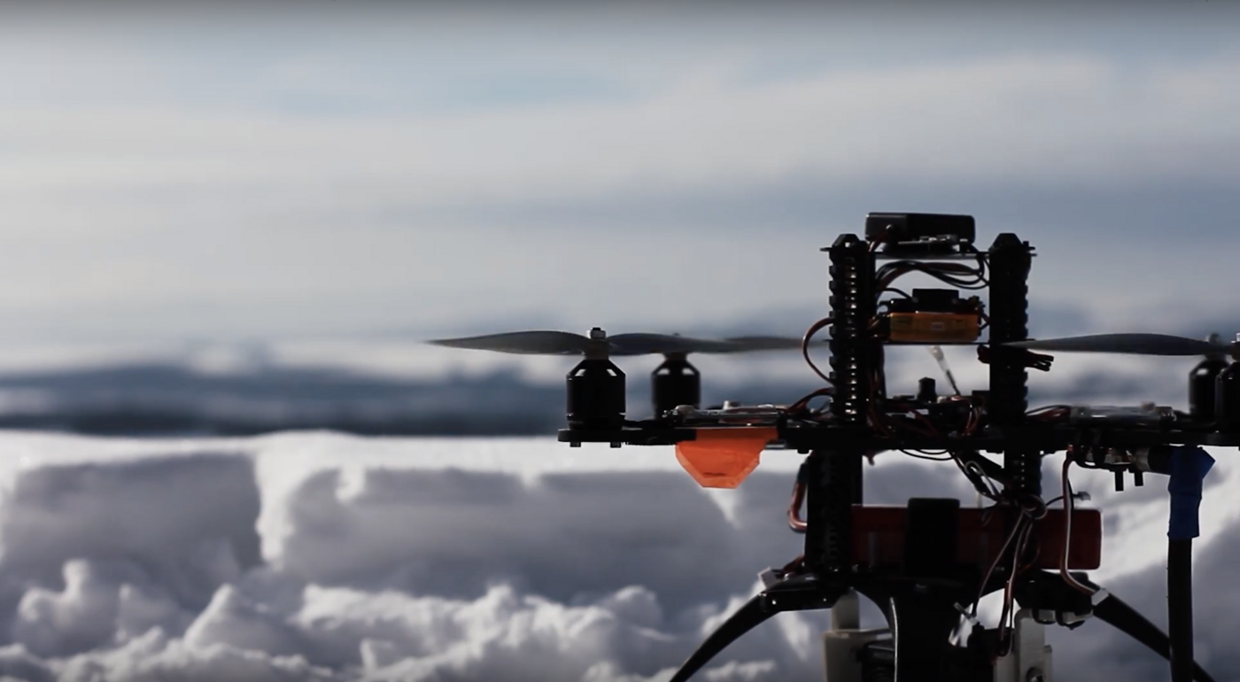
The central subject of geoinformatics (geomatics) is the processing of spatial information in its various forms. Similar to environmental informatics or business informatics, it is an interdisciplinary science. In addition to computer science and the geosciences, it includes cartography, land surveying, remote sensing and navigation technology.
The central task of the Geomatics Laboratory at the Environmental Campus is to give students a sound insight into the relevant fields of technology and to familiarize them with common databases, software tools and the corresponding development environments. Both commercial products and open source tools are used here. In addition to software technology, the laboratory also has various hardware components that can be used in the fields of land surveying, positioning or environmental sensor technology.

Please note: Information will be sent to Youtube/Google as soon as you start the video. For further information visit Google Privacy.
You are leaving the official website of Trier University of Applied Sciences